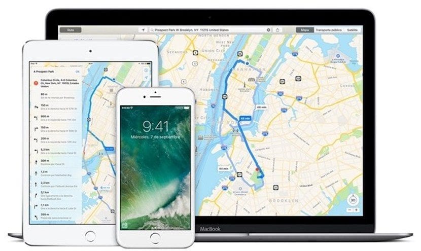
We echo the news that our colleagues from Applesfera have published thanks to the contribution of a user who has seen added information about bus stops, metro, trains and other stations of public transport vehicles in the Catalan capital.
In this sense, this is very similar to what Apple did in Madrid, leaving public transport stops and stations for later implement this information in your Apple Maps application.
This is one of the steps that Apple Maps is missing in some of the most important cities of our country and it is expected that it will soon officially arrive both in Barcelona and Valencia, where it was already warned that it would not take too long to arrive. after its launch in Madrid.
Apple uses the application to provide information on public transport, schedules and other data that are very useful for users. In this case, even the most important Renfe Cercanías stations in Catalonia are added, but in principle it focuses on Barcelona and its surroundings. A few days ago the option of see freeway and expressway lanes When we are in the guided mode of Apple Maps, little by little this tool continues to be perfected that allows users to navigate through it, find locations and more.