
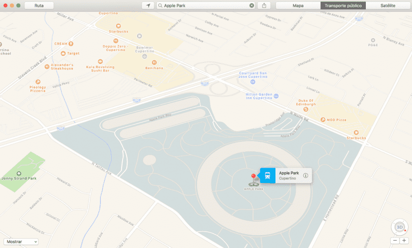
One of the criticisms made of Apple's maps is the lack of content compared to its main competitor, Google Maps. At least, when it comes to the inclusion of the Apple Park structure, we can say that Apple is up there with any rival. We just have to access Apple maps, look for Apple Park and select the Apple Park option in Cupertino.
It is important to select the map optionWell, if we change to the satellite view, we will see an image of a previous moment, in the phase in which the building was still unfinished.
The great detail that we can find in the 3D rendering, which is available as soon as we click on the button at the bottom right. For example, we can see in great detail: lin the form of buildings, roads and accessory elements. Even if we want to, we can observe in detail the solar panels of the main building.
The detail of the representation continues with details of the paths between the different rooms. We find, in addition to the main building, buildings for parking, near highway 280, the emblematic Steve Jobs Theater and the roads that connect some buildings and others. Up to one little lake inside the ring-shaped main building.
Lastly, although not closely related to Apple, the surroundings of the new Apple campus are surrounded by fast food restaurants. Therefore, if you feel hungry after visiting Apple Park, you can always recharge your batteries comfortably.